When I decided to produce an article on ECDIS I thought that it would simply involve reading a few articles, condensing the content and adding a few photographs. How wrong I was! Having started to delve into the mysteries of ECDIS I realised that this charting system, the carriage of which shortly will become mandatory, is a highly complex tool which, if it is to fully deliver the enhanced safety advertised, will require watchkeepers to forget many of the traditional chartwork skills and learn to use the electronic chart from scratch. Despite having waded through many papers and articles, even now I am not too sure that I fully understand all the elements that are combined to produce an authorised ECDIS.
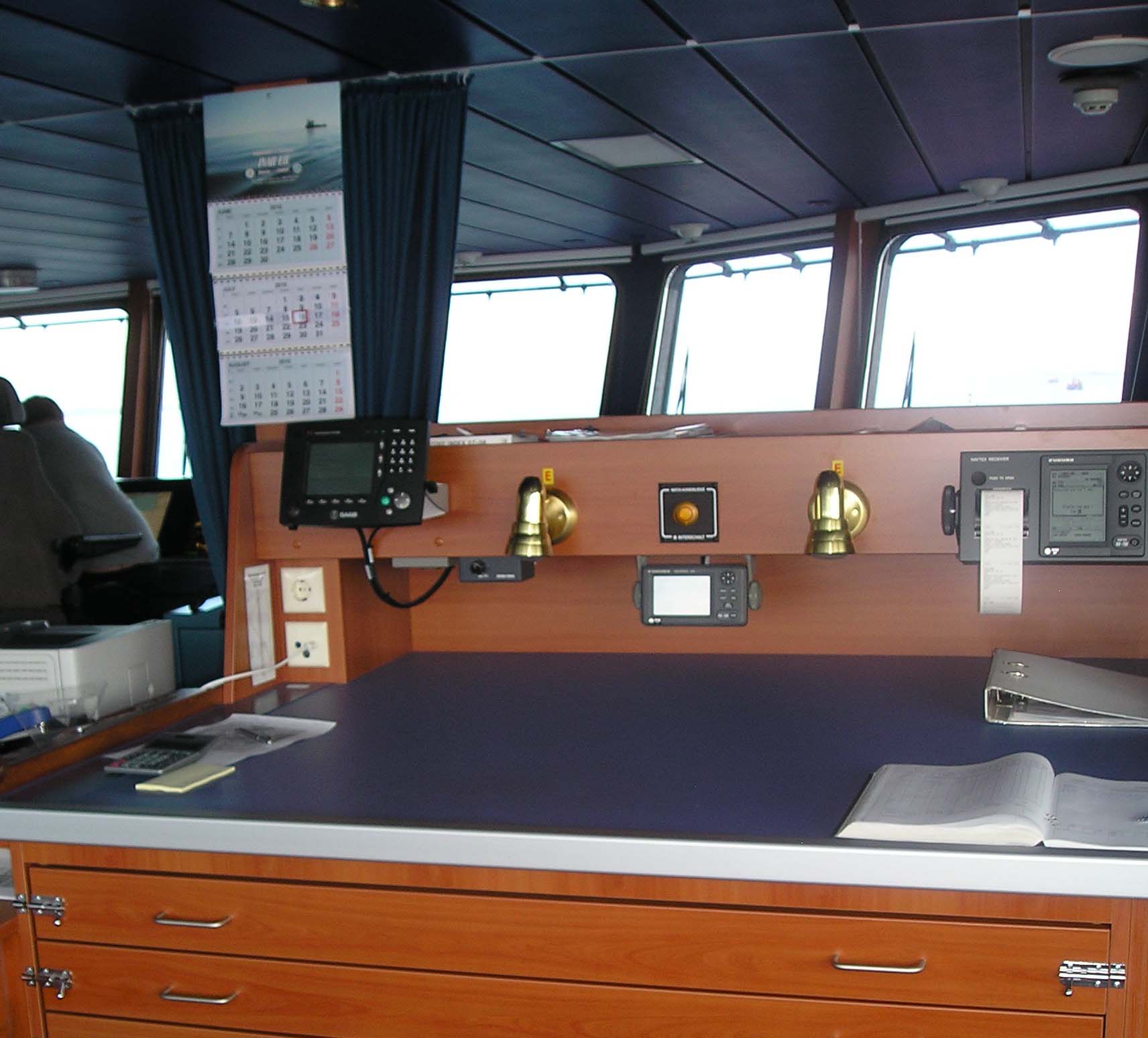
A typical ECDIS console At the end of 2008, the IMO Maritime Safety Committee approved the mandatory carriage of ECDIS for SOLAS vessels. The requirements are for ECDIS to be phased in for different classes of vessels between 2012 and 2018. One year on from the decision we are already seeing many vessels being fitted with electronic charts so pilots need to be aware of what is now becoming the primary on board navigation system. At first glance the electronic chart seems wonderful, your own ship is displayed on a computer screen sitting nicely in its exact position on the chart. But, is it real or is it an illusion?
Navigation by means of a fully approved ECDIS is totally different from traditional navigation using paper charts and requires detailed knowledge of the functions in order to ensure safe navigation yet, whereas traditional chartwork formed a major element of a deck officer’s navigation exams, electronic charts are being placed on board ships and officers are frequently expected to teach themselves how to use them in their own time by use of a thick and confusing manual. The situation is further complicated by the fact that different manufacturers provide different operating systems and features and so a watchkeeper could be fully competent in using one system but may then be transferred to another vessel with a totally different charting system. Currently, there appears to be considerable confusion over whether or not the electronic chart being displayed is an “official” ECDIS running an approved ENC ( Electronic Navigational Chart), an unapproved ECS (Electronic Charting System) or a RCDS (Raster Chart Display System). Unapproved systems must not be used for navigation but since they are usually located on the bridge front and even fitted into integrated bridge consoles they are commonly used as the primary navigation resource! I have frequently seen unauthorised electronic charts with a warning notice “Not to be used for navigation” fitted into the bridge console with the passage route displayed. There will be a set of paper charts on the chart table fully corrected up to date so the ship isn’t breaking any rules but it is obvious that many watchkeepers will just cast a glance at the electronic chart and be reassured that the ship is on-track. Even worse, some incidents have revealed that watchkeepers have trusted the position provided by such unauthorised systems despite conflicting visual and radar information. Such misguided trust is a human failing not limited to ship’s watchkeepers since vehicle drivers using electronic navigation systems will happily take articulated lorries down farm tracks or the wrong way down one-way streets!
Unfortunately, without comprehensive training in the ECDIS concept, such misguided trust on board ship is usually disastrous and tragically will almost inevitably result in fatalities.
Raster and Vector Electronic Charts
As the official ECDIS is phased in, one of the major problems is that for the last 15 years manufacturers have been producing electronic chart systems to a variety of differing standards and there are currently two totally different formats: Raster & Vector.
A raster chart is basically a scan of a paper chart A Raster Navigation Chart (RNC) is basically a digitally scanned paper chart and the electronic chart database will be identical to a paper chart folio and the user license provides the relevant folios and corrections for a particular area with new editions being issued in an identical manner to those for paper charts. Raster charts are never approved for navigation. However, just to add a bit more confusion into the issue, the IMO permits raster charts to be used on an official ECDIS which can operate an approved Raster Chart Display System (RCDS). The ECDIS can therefore be used to display a raster chart in areas where ENC data is not available or the full ENC license hasn’t been purchased. However, when in RCDS mode a warning should appear on the ECDIS screen and paper charts for the area must be carried and corrected up to date. This potentially dangerous “dual fuel” (as it is known) option will probably rapidly disappear rapidly as hydrographic offices complete the world database of approved ENC data since if a ship gets orders to proceed to an area not covered by its existing ENC license then, rather than keep paper chart folios and also pay for raster chart folios for the ECDIS, the ship will just have to email the chart supplier for the key to the additional areas and the access codes will be sent and the owners charged accordingly. Last year an interesting spat arose between the UKHO and an innovative chart supplier over the issue of access codes that I will cover later.
There are two main advantages with the raster chart. Firstly, they are cheap and so they have been a popular choice with ship owners. Indeed some Masters, whose owners are reluctant to invest in anything unnecessary, carry their own raster charts on a laptop with a cheap, low grade, GPS aerial plugged in. Such charts are usually from a somewhat dubious source. I have seen such laptops running charts that are at least ten years out of date. The Captain of course always states, “No no Mr. Pilot, not used for navigation. Paper charts all correct in chart room”!
The other advantage of a raster charts is that since it is a scanned version of a traditional paper chart the chart display is totally familiar to the navigator. However, this scanned format also represents the greatest drawback of the raster chart in that by being displayed on a small screen data which may be clear on a large paper chart may be lost and whilst switching to the larger scale chart for the area may clarify detail, the important overview of the passage ahead is lost whilst the alternative of “zooming in” on the smaller scale chart generally produces distortion. Another problem frequently arises in areas where two charts overlap where the software may become confused and the navigator then has to locate and manually input the correct chart from the database.
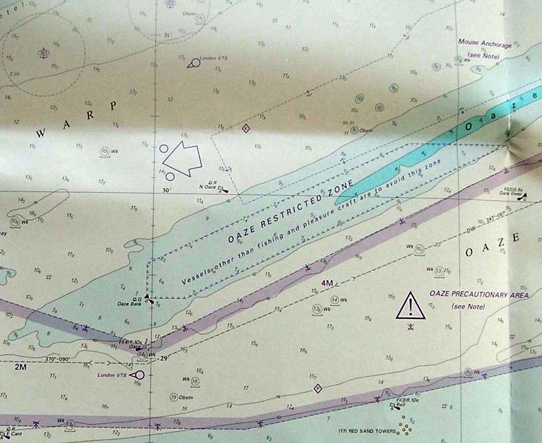
[url=http://www.pilotmag.co.uk/wp-content/uploads/2010/03/ECDIS-pic-21.jpg] A typical small vessel bridge showing an unapproved ECS at the conning position Vector charts are far more complex being totally seamless and built from several different “layers” which cause additional features such as depth data to appear as the operator zooms in and therefore provides a less congested display on the smaller scales. However, in their wisdom the authorities have set the minimum screen display size at a tiny 27cm x 27cm which is about 1/4 the size of a paper chart so zooming in considerably reduces the view ahead for the passage and there is therefore a recommended optimum layer range set for navigation. The main danger of this layering function is that chart corrections and notices to mariners information is only required to be displayed on this optimum layer for navigation as decided by the ECDIS specifications. This results in another major disadvantage in that passage planning becomes more complex since a navigator will use a small scale display to plan a port to port passage but must then check the whole route at the largest scale in order to ensure that no hazards or obstructions are overlooked. I have now piloted many ships operating without paper charts and this factor is a common complaint amongst the watchkeepers using them. Indeed many of these vessels still use paper planning charts for this reason, which reveals another problem in that some of the newly constructed vessels designed to operate without paper charts aren’t fitted with a chart table!!
However, once a safe passage route has been identified the advantages of the vector chart become evident because the chart display can then be configured specifically to the vessel’s parameters. Depth contours and “no-go” areas can be tailored to the ship’s particulars and hazards highlighted with alarms that can be activated if the vessel strays from the intended track or when approaching a hazard. The provision of AIS overlay permits anti collision parameters to be set and radar and other data can be input and overlaid on the screen. Such features represent the great advantage of the vector chart and offer considerable potential to enhance safety but, in untrained hands, is can also be its greatest weakness. Because of its three dimensional functionality using layers of “objects” the techniques for navigating on a vector chart are totally different to the traditional paper chart methodology and so the comprehensive training in their use is paramount for the transition from a two dimensional paper chart.
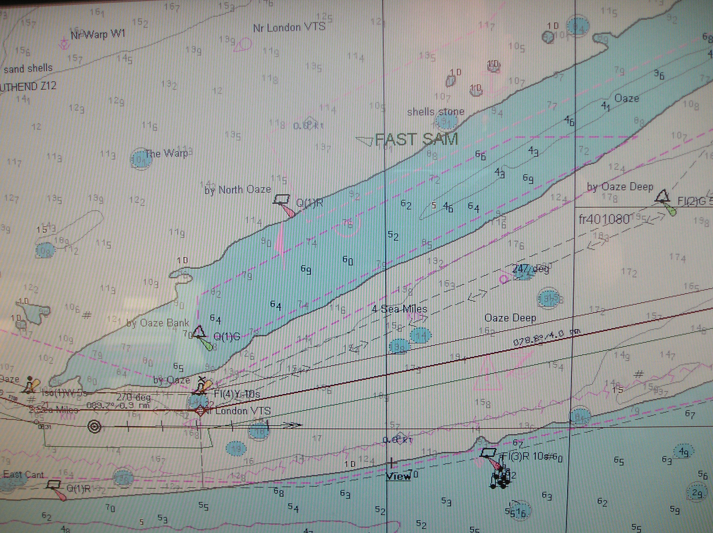
This vector chart is an “AECDIS 2000″ but it isn’t an “approved” ECDIS and therefore must not be used for navigation so why is there a passage track on it?
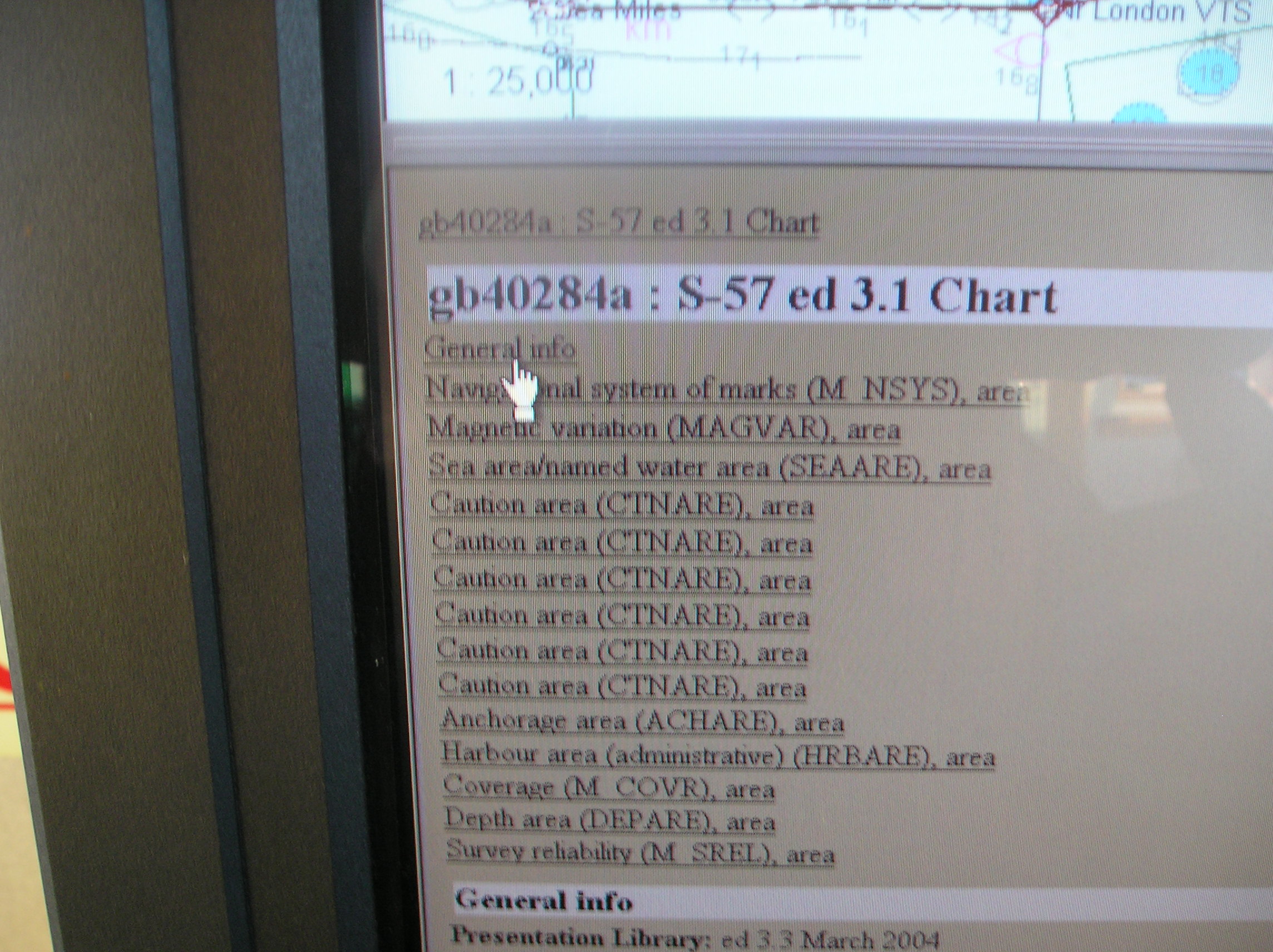
Are all vector charts ENC’s? Simple answer: NO! Whilst official ENC data is only supplied in vector format the vast majority of existing vector charts have been created by manufacturers using their own methodology for transferring data from existing paper charts into vector format. If this data hasn’t been provided by an approved hydrographic office using the authorised S-57 format then such vector charts are only classified as ECS and therefore cannot be used in place of paper charts.
Is an ECDIS an ENC?
A common misconception is that an ECDIS is an actual chart. In fact it is basically a display system meeting the strict specifications required to display the ENC data supplied by the approved HO’s. The following is the official definition for ECDIS:
IMO Resolution MSC 232 (82) defines an Electronic Chart Display and Information System (ECDIS) as: “a navigation information system which with adequate back-up arrangements can be accepted as complying with the up-to-date chart required by regulations V/19 and V/27 of the 1974 SOLAS Convention, as amended, by displaying selected information from a System Electronic Navigational Chart (SENC) with positional information from navigation sensors to assist the mariner in route planning and route monitoring, and if required display additional navigation-related information”.
An ECDIS also has to meet specific performance standards which are laid down in IMO Resolution A/817. This resolution describes the minimum performance standards for ECDIS, with reference to hardware, software, ENC and updates, user interface, integration with positioning sensors such as radar and other devices, etc.
The technical standards are set by the International Electrotechnical Commission (IEC) and it is the responsibility of the Classification Societies to assess whether a particular ECDIS installation is compliant. Systems that comply with all requirements get a “Type Approval” certificate from the Classification Society and only such Type Approved installations can legitimately be called ECDIS.
An important point to note here is that an ECDIS can only be used in place of paper charts if the information being displayed is sourced from an ENC converted by a SENC. Confusing? Yes, because although manufacturers may fit type approved ECDIS, the ship owner, having fitted an ECDIS unit in anticipation of future carriage requirements, may not purchase licenses for ENC’s until legally required to do so and the chart may therefore only be a basic Electronic Chart System (ECS). So, until all vessels are finally fitted with “approved” systems over the next 8 years mariners in general and pilots in particular will be faced with a mix of approved and non approved electronic charts.
There is also a requirement for a back up system in case of ECDIS failure. The specifictions state
The purpose of an ECDIS back-up system is to ensure that safe navigation is not compromised in the event of ECDIS failure. This should include a timely transfer to the back-up system during critical navigation situations. The back- up system shall allow the vessel to be navigated safely until the termination of the voyage.
What’s the difference between ENC & SENC?
MSC 232 provides the following definitions:
ENC: means the database, standardised as to content, structure and format, for charting and updates issued for use with ECDIS by or on the authority of a Government, authorised Hydrographic Office or other relevant government institution, and which conforms to an IHO standard known as S-57/3. The ENC contains all the chart information necessary for safe navigation. On the ship, S-57/3 data is loaded into the ECDIS in a dedicated storage area, called the ENC database.
SENC:
Since the S-57/3 format is not suitable for data processing, the ECDIS has to
convert the ENC into a different format referred to as SENC. The resulting data is then loaded into a separate SENC database from where it is accessed by the chart display and navigational
functions of ECDIS and this database may also contain information added by the mariner or from other sources.
The ECDIS manufacturer may choose whatever format and database structure for the SENC, provided that the ENC data is not downgraded in accuracy and/or contents during the conversion process.
The ECDIS structure is best explained in the following diagram which I obtained from an excellent website on ECDIS at the following link:
[url=http://www.fuerstenberg-dhg.de/index.php?&L=1]www.fuerstenberg-dhg.de/index.php?&L=1
There are some concerns that the SENC is a potential weak link in the integrity of the ECDIS installation since the final chart display presented to the watchkeeper is in the hands of the ECDIS manufacturers rather than the Hydrographic Offices. There is also the fact that when corrections or new charting editions are sent to the ship the conversion process can take a long time during which time the ECDIS cannot be used. To overcome this the manufacturers are increasingly offering a service to convert the ENC data to SENC ashore. In a recent paper, Dr. Fosco Bianchetti (President & CEO of C-Map) detailed the problems associated with the ENC’s and the conversion process within and ECDIS and why he believes that the conversion to SENC should be undertaken ashore rather than on board the ship. The following is an edited extract from his paper which can be found at the following link: [url=http://www.thsoa.org/hy99/A_5.pdf]www.thsoa.org/hy99/A_5.pdf
“The problem is that the SENC is generated by the ECDIS, and never tested before being used by the ECDIS itself. It may be argued that the SENC Compiler, as part of a type-approved ECDIS, has undergone a severe testing procedure and is therefore assumed to be robust, reliable and exact. Nevertheless there is always a certain degree of uncertainty in format conversion, that could result in partial data loading, unexpected behaviour of the ECDIS, or a system crash. Also, the conversion of a large amount of data may be a lengthy affair, and could absorb a large part of the ECDIS resources, maybe right in the moment in which the system is performing a critical computation or analysis. The lack of official ENC’s makes things worse. Even if a number of Hydrographic Offices have started ambitious programs of ENC production, very few official electronic charts in S-57/3 format currently available. The result is that ECDIS users have to supplement ENC data with non-ENCelectronic charts. This is the concept of the so-called “dual-fuel ECDIS. Since the ECDIS operates in non-equivalent mode when using non-ENC charts, S-52 and the IMO Performance Standards require that these are not mixed with the ENC and therefore, they must be loaded in the ECDIS into a separate storage area (‘Non-ENC information’ in the diagram) and must remain clearly distinguishable from official charts even after compilation in the SENC. It must be stressed that quality of non-ENC charts may vary to a large extent, and their format may be very different from S-57/3 and this adds further complications (and potential problems) to the task of the SENC Compiler that has to blend various electronic charts with different features into a single database”.
In order to address these issues, not surprisingly, C-MAP have come up with a solution in the latest version of their product known as CM 93/3 which produces the SENC format ashore in a format which I understand has type approval from DNV. Dr Bianchetti explains.
The advantages of this approach are obvious. All format conversions, as well as the difficult task of harmonising and merging data from different sources, are performed at C-MAP facilities, under strictly controlled conditions, and not by the ECDIS installed on board. All data delivered to ships is double checked in advance, in the format in which it will be actually used by the ECDIS, to ensure that it is fully functional and does not contain ‘unwanted surprises’. Any error affecting the source electronic charts is detected (and, if possible, corrected) by C-MAP, instead of being just passed off to the user. As regards the theoretical issue of whether the original ENC in S-57/3 format should be physically present in the ECDIS or not, there are a number of considerations that could mitigate such requirement, or lead to a different interpretation of it:
- The only purpose for the ENC to exist on board is generating the SENC. In fact, whatever operation performed by the ECDIS on electronic chart data pertains to the SENC, not the ENC. Therefore, existence of the ENC in the ECDIS is purposeless, if the conversion to SENC has been already performed under controlled conditions, by a SENC compiler that is part of a type-approved ECDIS.
- S-52 and the IMO PS require that data is not downgraded in accuracy and/or contents during the conversion from ENC to SENC, meaning that ENC and SENC are logically equivalent to each other. At this point, any ENC stored in the ECDIS would represent a mere duplication of the corresponding SENC.
- Based on the above consideration, the theoretical requirement of having the ENC physically present in the ECDIS could be fulfilled by the capability of the SENC compiler to perform a back conversion (i.e. from SENC to ENC).
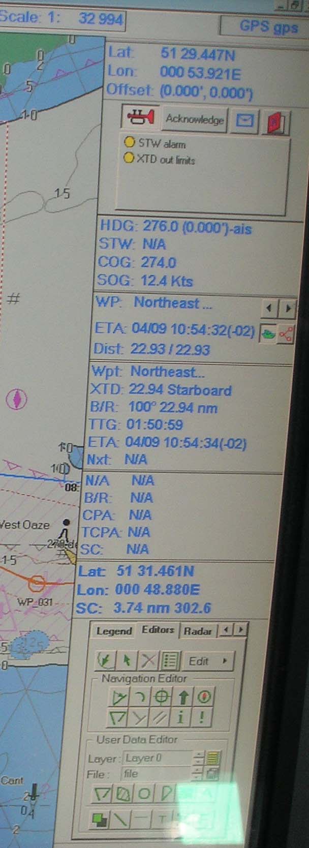
An approved ECDIS chart. Note the crowded screen! Operation
When an ECDIS is switched on the watchkeeper is presented with a “standard display” which will consist of the largest scale available in the SENC for the displayed area. The navigator can then build on that display and taylor it to his own watch keeping needs. The specifications require that the ECDIS can be returned to the standard display by means of a “single operator action”.
However, this standard display will not show all the features that you would expect to see on the paper chart. For example features such as submarine cables and spot depths aren’t there and although navigation marks are shown their characteristics aren’t so the navigator needs to know how to access and display this important additional data from the menu system.
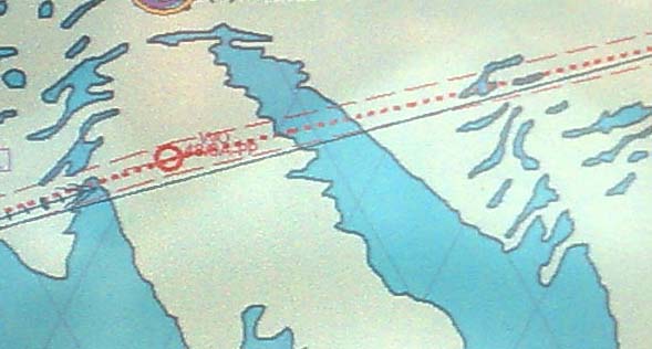
For passage planning the navigator first needs to ensure that the ECDIS contains all the necessary charts for the passage and it is here that an interesting argument has developed between a chart supplier and the UKHO. In 2009 an authorised Dutch ENC supply company introduced a sort of “pay as you go” charging plan called ENCTrack that basically permitted free access to all ENC’s but only required the ship owner to pay licence fee for those he actually used on passage.
The UKHO, along with some other approved HO’s halted the launch of this service on the basis that the licensing of any chart should start on the commencement of the planning process; that is, “when it is ‘first used’ in the vital and mandated process of assessing the data available to enable a voyage plan to be prepared”.
In contrast, ‘ENCTrack’ considers the chart’s ‘first use’ to be when the vessel is passing through the chart region, not when the mariner starts his planning process with those same charts. The UKHO argument is that when preparing a passage plan a navigating officer is making informed decisions affecting ship safety from consulting all the charts and the embedded additional information relevant to his plan so licences should be purchased for all the charts not just for a narrow track over which the vessel actually passes. However, not all HO’s agree with the UKHO position on this and consequently at the time of writing Datema have launched a limited ENCTrack service with those HO’s. Interestingly, despite the objections, Datema have recently won an award as a “Value Added” reseller of ENC’s. This case highlights just one of the many issues that need to be resolved within the next two years.
Once the navigator has the relevant charts he can now set his waypoints and save the passage in the database and should back this up in case of failure of the primary system. He can then set the safe depth parameters and the ECDIS can then be set to highlight the appropriate contours for the passage. Undertaking the passage and the quirks of ECDIS for navigation will be covered in part 2 in the April issue.
[url=http://www.pilotmag.co.uk/wp-content/uploads/2010/03/ECDIS-pic-6.jpg]
Don’t forget to pay! photo: N Allen Of course, having the shiny new ECDIS with the relevant chart folios is only the initial element of chart work since the ENCs stored in a SENC require regularly updating. and it is here that some further unresolved complications arise. Updating data can either be made by sending a CD ROM by post, or by data transfer using satellite or mobile phone. Because of the large size of files associated with the updates the latter mode, although preferable is currently expensive, also upon receipt, data transferred by satellite or mobile phone must be burnt on to a CD ROM before the ENC can be updated. The CD ROM is necessary for keeping a hard copy of the update available. The cheaper option of updating by post, apart from the obvious problem of time delays, also could result in some updates being missed. This is serious because updates are sequential and if one is missing the update procedure can not be completed until the missing previous updates have been applied. Even when the CD is received on board there is evidence that the updating process is not always simple and can take considerable time. It also appears that on many systems there is no confirmation that the update has been successful without the navigator having to subsequently check in the folio database for each chart affected which represents a total waste of a busy watchkeeper’s time and totally annuls one of the fundamental advantages claimed for ECDIS.
For urgent navigation warnings ECDIS specifications require that they can be manually updated but again I understand that on many systems this can be a time consuming and fiddly process with no standard input procedure. These problems are well known and the following somewhat alarming information is taken from the latest (January 2010) ECDIS guidance CD issued by the UKHO:
Updates for UKHO ENCs are issued weekly in line with UKHO policy for all its navigational charts, paper and electronic. Due to unforeseen technical difficulties, ENC updates may occasionally be issued late and consequently may not be synchronised with the corresponding Notices to Mariners and updates for paper and ARCS charts. Updates are issued for all Permanent Chart-Correcting and Preliminary Notices to Mariners. However, it may not always be possible to issue updates for Temporary Notices to Mariners, especially those that cover large geographical areas and are not chart specific. Mariners should consult the paper weekly Notices to Mariners booklet or the UKHO website, http://www.nms.ukho.gov.uk/, for details of these Notices to Mariners.
So it appears we have a situation where the ECDIS updates may not contain the latest warnings and may even be missing some altogether! I wonder just how many officers have either the time or inclination to check the printed weekly NtM’s to check that their ECDIS information is complete? My estimation would be zero!
Another worrying aspect of the updating process is that once applied these are not shown in the traditional manner associated with paper charts but with a new symbology of a polygon with an exclamation mark in it placed in the general area of the notice. The notice will only appear on the “recommended” range scale for a particular ENC so won’t appear if the display is zoomed in or out! The following is again from the UKHO:
The display shows red polygons around the locations of NMs, along with the NM number. T&P NMs are shown with the NM number used in the Admiralty NM Bulletin, including the (T) or (P) designator. EP NMs are shown with (EP) in the number and using numbers that do not conflict with existing paper NMs. All NMs are linked to specific ENCs and will only display when the linked ENC is displayed. This means that as the user zooms in or out to scales at which the NM is no longer relevant, it will be removed from the screen.
Attached to each polygon is the full text of the NM, which can be viewed using the ECDIS pick report. In addition, complex NMs have an attached diagram or picture that helps explain the situation and is available directly from the ECDIS.
So we currently have a situation where the ECDIS NtM’s aren’t synchronised with the printed NtM’s and the information is displayed in an unfamiliar format that has to be interrogated to reveal its content. Feedback from users also reveals concerns that these polygons add further clutter to an already crowded display especially if they contain information not relevant to their particular vessel.
System Stability
An ECDIS is a computer and as such its stability is dependent upon the processing power available. Like all computers, over a period of time the ECDIS memory will fill up and require clearing out. As the memory fill then processing of information will slow and sometimes freeze and the ECDIS will require a re-boot. Obviously this is far from ideal if the vessel is in a busy shipping lane when such computer “issues” occur.
Additional Navigational Information
As part of an integrated system an ECDIS can be interfaced to overlay Radar and AIS data on the charted. Other items such as passage planning tools can be added to the ECDIS database and accessed as required. However, information software is not automatically supplied with the ENC so has to be purchased separately at additional cost. Examples of planning overlays are tide and weather information, sailing directions, port arrival information etc. The disadvantage of such services is that they are often produced by different software providers so the incompatibility problems associated with any computer software on different platforms can arise and of course additional software uses up memory and processing power. To combat this the ECDIS suppliers are increasingly offering such additional software packages specifically tailored to their equipment.
[url=http://www.pilotmag.co.uk/wp-content/uploads/2010/03/ECDIS-pic-52.jpg][/url] The striped lines on this ECDIS diplay alert the user that he is not using the “recommended” scale!
Training
As can be gleaned from all the aforementioned factors, the safe and efficient operation of ECDIS requires officers to not only be aware of the basic principles of ECDIS operation but they must also be fully conversant with their particular installation.
So, with an estimated 500,000 officers requiring such training before 2018, how is the Industry addressing this training issue? Well as is traditional for the Maritime world the situation is confusing because there is currently no mandatory IMO requirement for watchkeepers to attend ECDIS courses. However, under STCW95 a navigation officer must possess “a thorough knowledge of and ability to use navigational charts and publications…” He must show “..evidence of skills and ability to prepare for and conduct a passage, including interpretation and applying information from charts”.
In an annexe to the STCW95 requirements ECDIS is classified as a “chart” so under the ISM code ship owners have an obligation to ensure that their officers are trained to use ECDIS. Consequently, there is a requirement that all the watchkeepers serving on board any ship which has replaced its paper charts with an approved ECDIS system must have been formally trained in its use. Despite not formally requiring training, the IMO have proposed a syllabus for ECDIS courses and the major navigational institutions are now offering generic ECDIS courses but which currently vary in length between two and five days. Considering how traditional chartwork formed such a major element of a navigator’s training there is increasing concern that the existing courses are woefully inadequate for a watchkeeper to practically comply with the STCW95 requirements. These concerns are enhanced by the generic nature of these courses which cover the basic principles ECDIS but cannot possibly provide an officer with the necessary competencies required to operate a particular manufacturer’s ECDIS. Since the regulations leave the manufacturers free to decide how the SENC information is displayed and the multitude of functions accessed, we are entering the age of ECDIS with a similar incompatible and confusing variety of ECDIS operating systems as currently exists with the myriad of radar operating systems on today’s bridges!
The IMO are currently proposing that ECDIS training will be a specific requirement in the revised STCW code, scheduled for adoption this year but again this will be generic rather than type specific and so will probably just serve to formalise the existing ad-hoc training courses.
The best ship owners are addressing these issues by sending their officers on type specific courses under their ISM compliance requirements but even such well trained officers may not be fully competent to use another manufacturer’s equipment if he transfers to another ship or company.
Other ship owners are sending officers for the basic training but passing the buck back to the ship by issuing ISM instructions that watchkeepers must familiarise themselves with the ECDIS using the manufacturers handbook. Since some of these can be over 500 pages in length and not easily understood, even by officers who have the advantage of English as a first language such training methodology is unlikely to provide the requisite competency. At the bottom end of the scale the vast majority of ship owners are awaiting the mandatory carriage dates for their fleets and somewhat unsurprisingly there is a growing concern that the authorised training establishments will not be able to cope with the last minute rush! I am already aware of one company which having purchased a coastal tanker from an owner who had fitted an ECDIS system had placed paper charts on board rather than incur the cost of sending the new officers on a training course. Another reason might have been that his crew agency were unable to supply ECDIS trained officers who, if available at all, are no doubt currently at a premium!
Given the track record of some crew supply agencies I think that we can expect to see a lot of forged ECDIS certificates appearing in the near future.
What about pilots?
Given all the complexities of ECDIS and the myriad of different operating systems the advice to pilots is that an ECDIS should never be used as the primary navigation tool for pilotage.
Finally my thanks go to Harry Gale of the Nautical Institute for permission to freely use information from the NI publication “From paper charts to ECDIS” which is the best publication on ECDIS available at this time. See my review in the April 2009 issue.
JCB
PS This article has been compiled from a wide variety of different sources and so my interpretation may not be totally correct. Please let me know if you find any errors in order that I can correct them accordingly.
|
 |隐私政策|注册协议|注册协议|Landho 看海-懒猴航海-电子海图
( 津ICP备19004518号-1 )
|隐私政策|注册协议|注册协议|Landho 看海-懒猴航海-电子海图
( 津ICP备19004518号-1 )

 发表于 2012-2-15 11:23:20


 发表于 2012-2-17 21:03:11
 发表于 2012-6-17 17:26:25